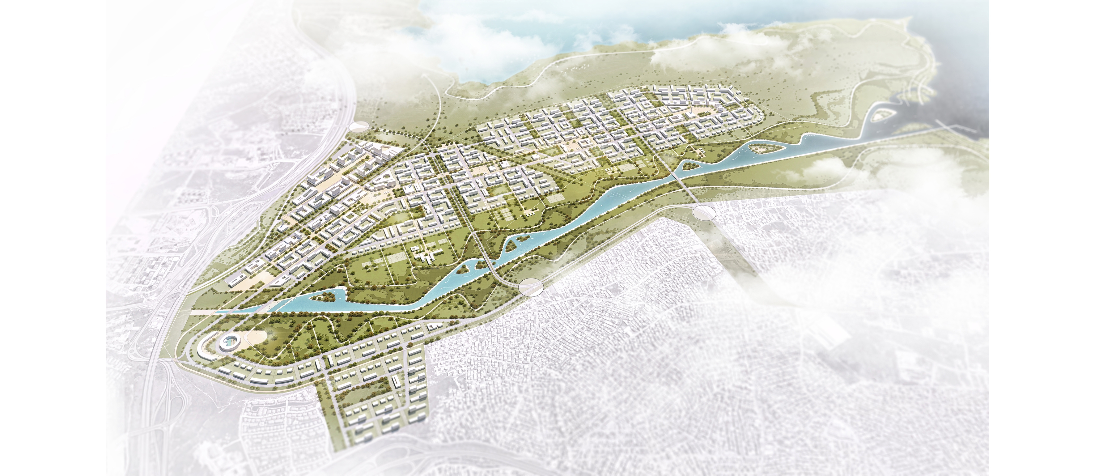
The project area; It is located on the European side of Istanbul, within the borders of Avcılar District. The area defined as Firuzköy Mevkii is surrounded by the TEM highway in the north, Küçükçekmece Lake in the south and east and by archaeological sites in different statuses. In the west, the area is defined by a valley with elevated elevation values. It is adjacent to Ispartakule, which is one of the most important residential housing areas of Bahçeşehir and İstanbul.
Based on the need for the 'Active Green Area' of the Istanbul Metropolitan Area and the problem of ownership, it is one of the priority objectives of the project to bring the area, which is a continuation of the corridor and the Küçükçekmece corridor to the public, and to bring it into the city as a 'Recreation Valley'
In this context;
1) Recruitment of a large upper scale public space (recreation valley) with a wide variety of recreational use to the Istanbul metropolis
2) All the rights holders of recreation valley (due to the constraints of the restructuring)
3) Transfer of the Areas Subject to Private Ownership in the Valley to Reasonable Reconstruction Rights
4) 'Küçükçekmece Life Valley' is intended to be publicly owned.
MACROFORM
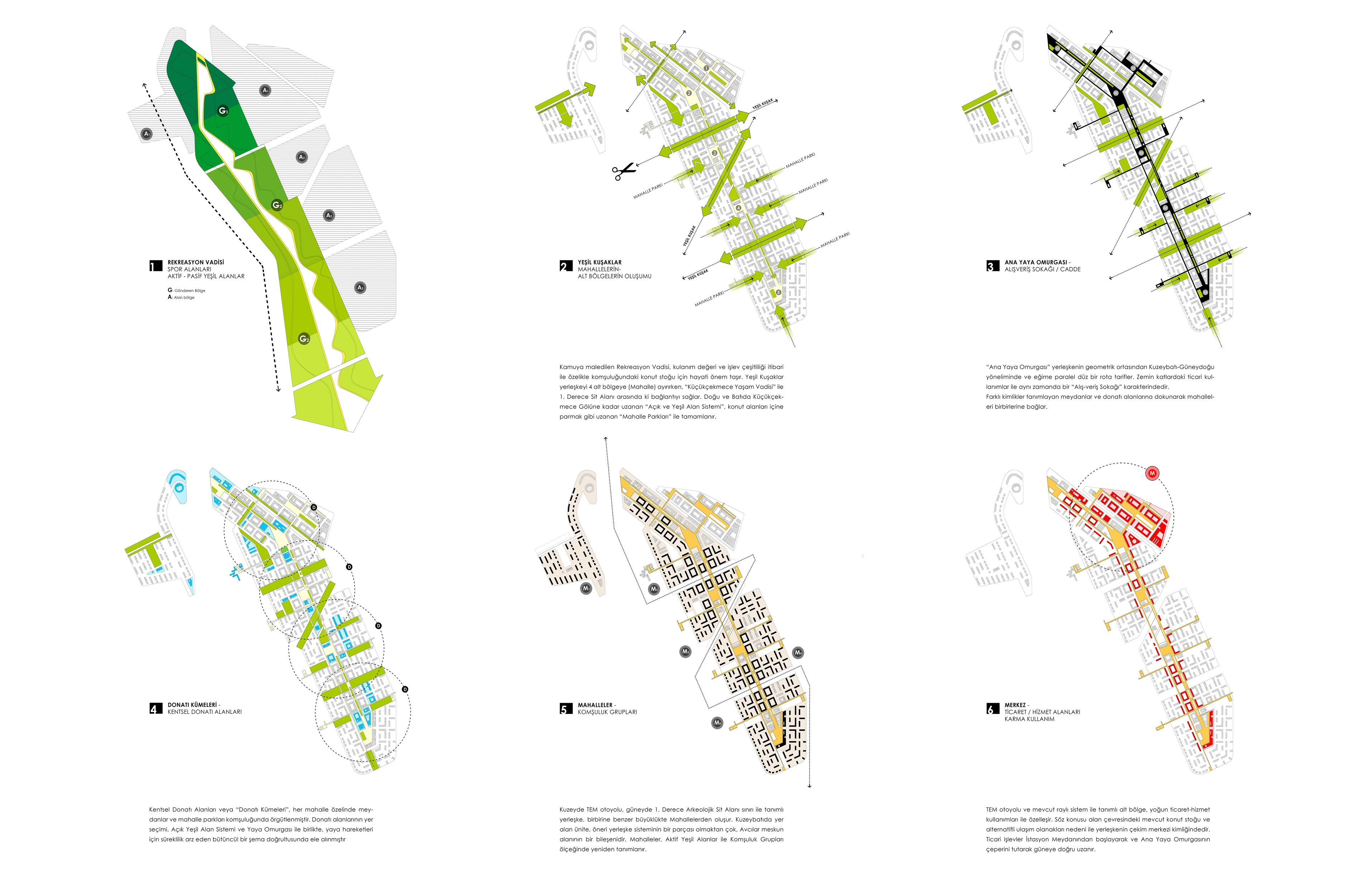
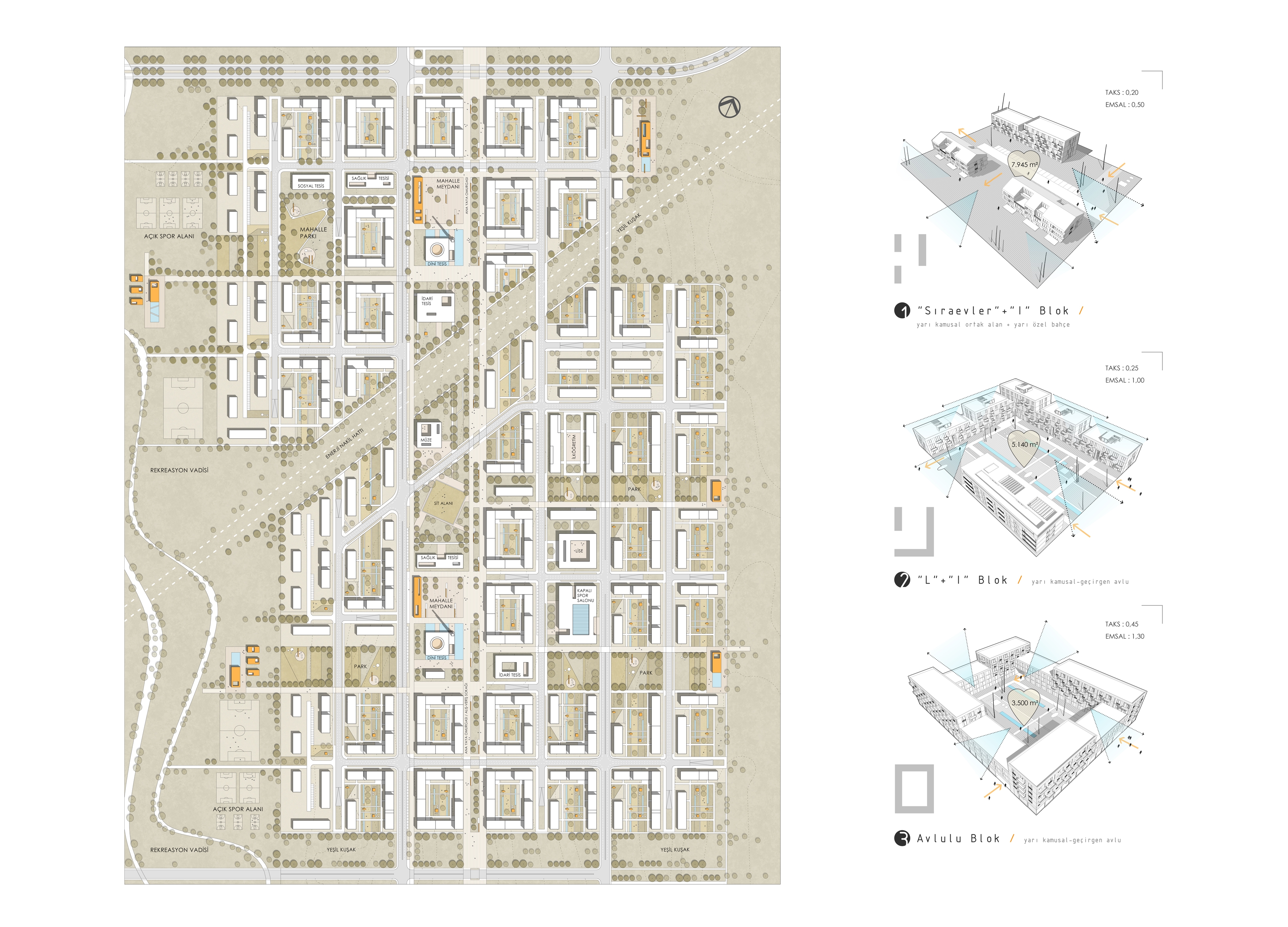
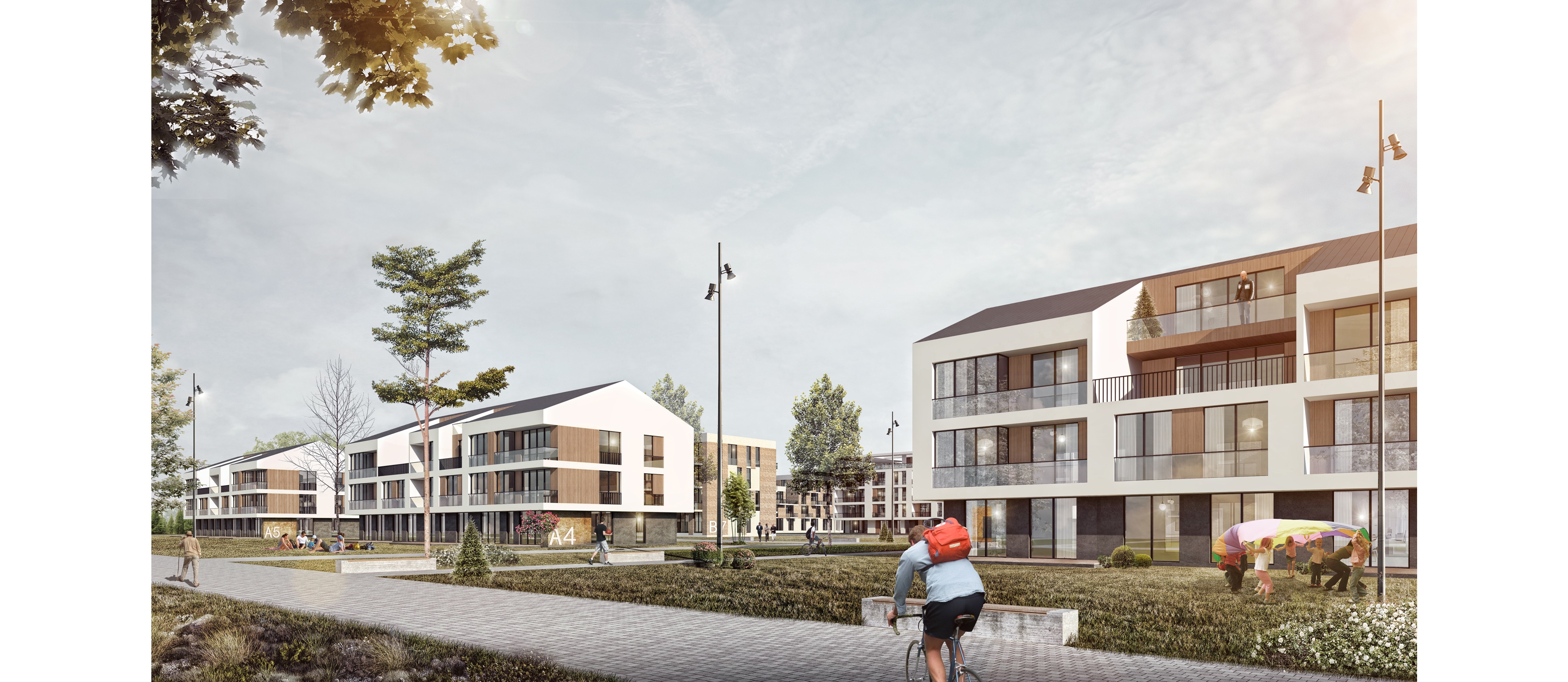
The campus is comprised of four residential sub-regions and a non-residential function area. The sub-regions are first broken into the Open and Green System entries and neighborhood groups. The area utilization of all urban functions, including the public facility areas, refers to a ratio of around 40% as per the area of the project. In other words, Public Open and Green Areas are the main motivation and reference of the project.
On behalf of 'Public Benefit' with the project; It is aimed to gain a permanent solution to the problem of chronic private property in the region.
GREEN BELTS
The Public Recreation Valley is of vital importance for the housing stock, especially in the neighborhood of its use value and variety of functions. The Green Belts provide the connection between the ki Küçükçekmece Life Valley alle and the 1st Degree Protected Area while separating the campus into 4 sub-regions. The 'Open and Green Area System' extending to the Küçükçekmece Lake in the East and West is completed with 'Mahalle Parks' extending into the residential areas as fingers.
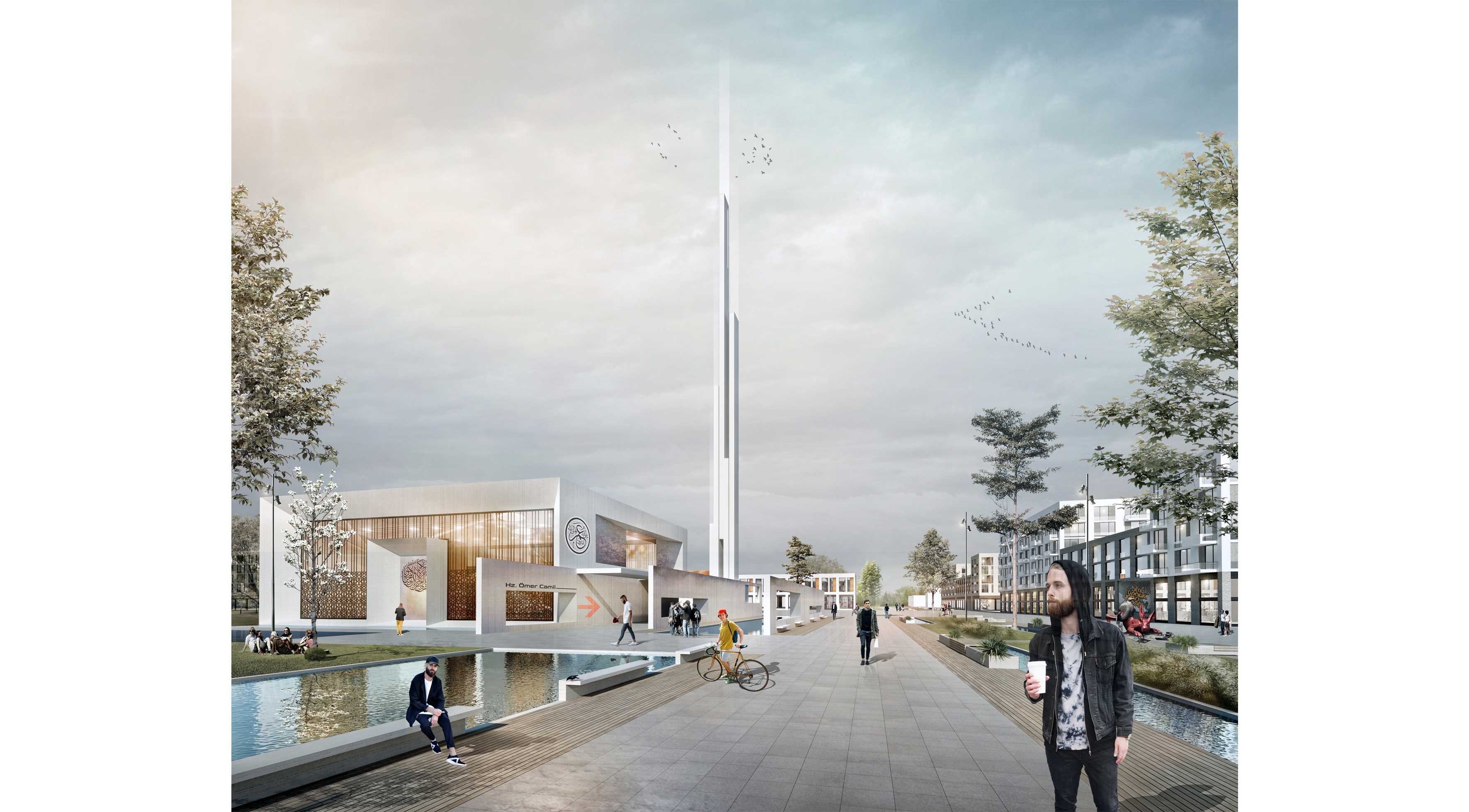
NEIGHBOURHOODS
In the north, the TEM highway consists of a neighborhood with a similar size to each other, with the boundary defined by the 1st Degree Archeological Site Area in the south. The unit located in the northwest is not a part of the proposed campus system, but rather a component of the Avcılar residential area. The neighborhoods are redefined on the scale of Active Green Areas and Neighborhood Groups.
CENTER
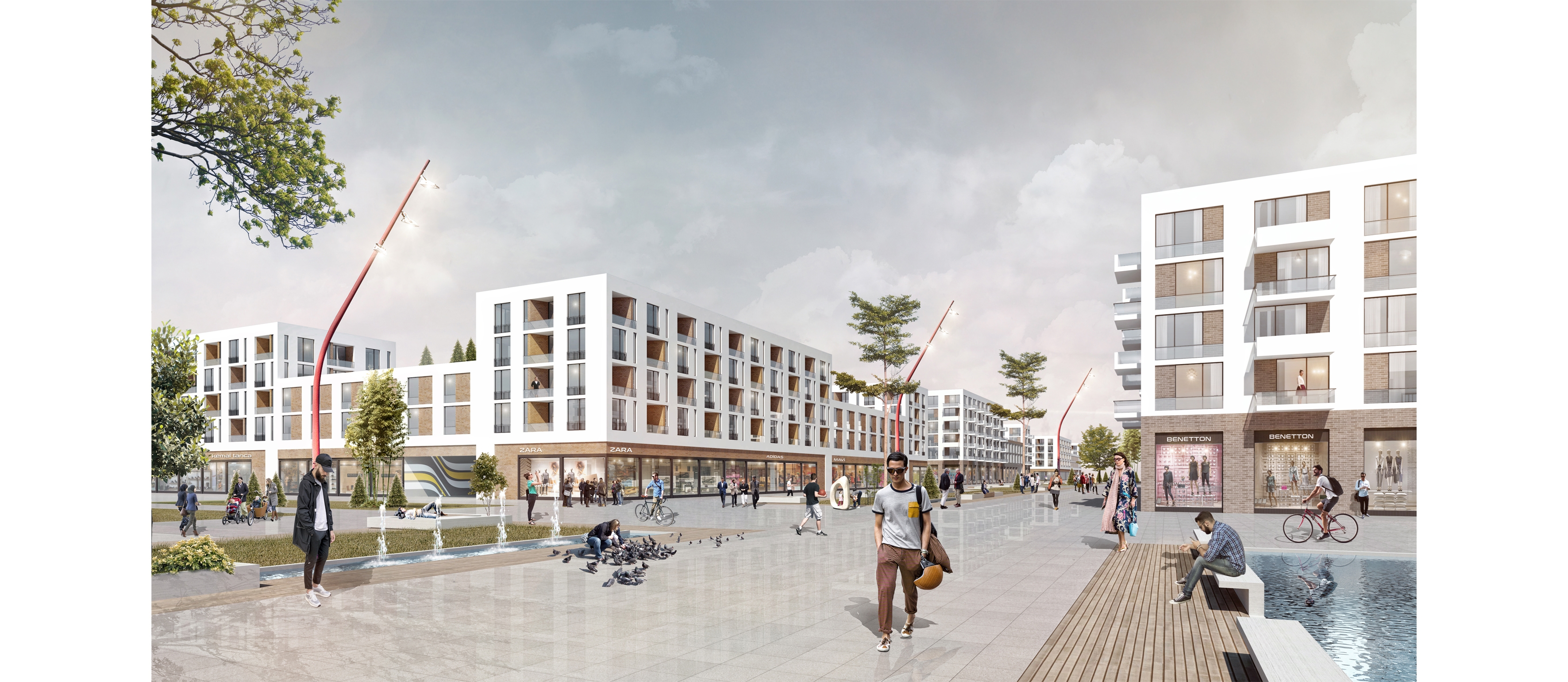
The sub-region defined by the TEM motorway and the existing rail system is specialized with intensive trade-service uses. The area is the center of attraction of the settlement due to the existing housing stock and alternative transportation facilities in the vicinity. Commercial functions extend south, starting from Station Square and holding the main pedestrian backbone.
MAIN PEDESTRIAN BACKBONE
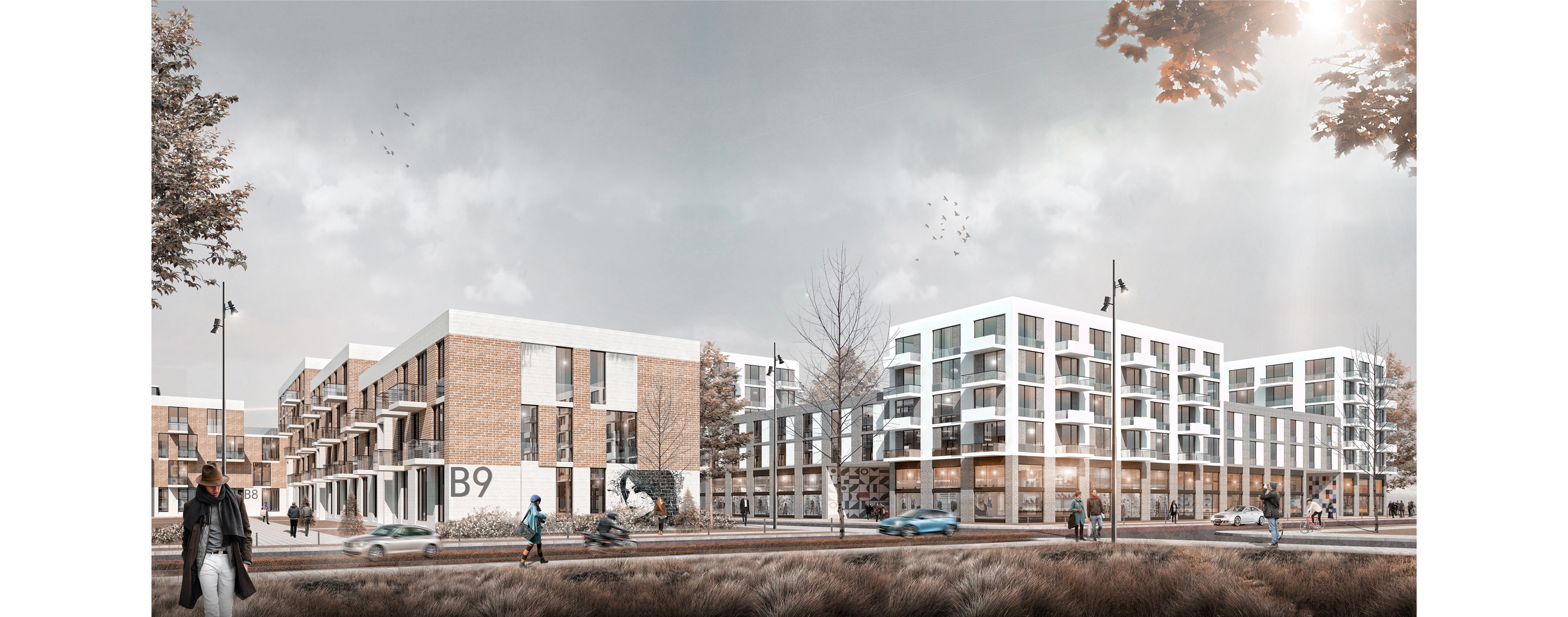
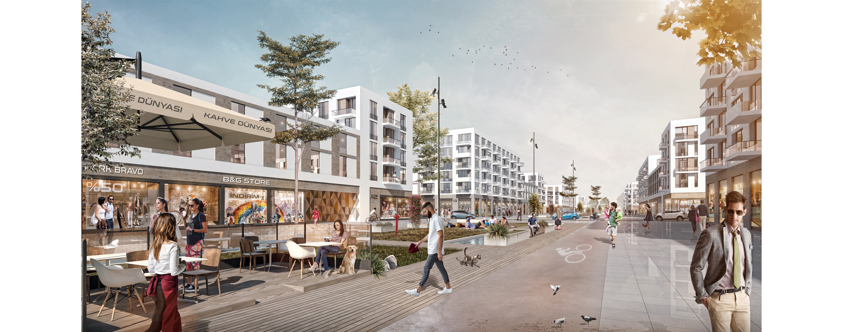
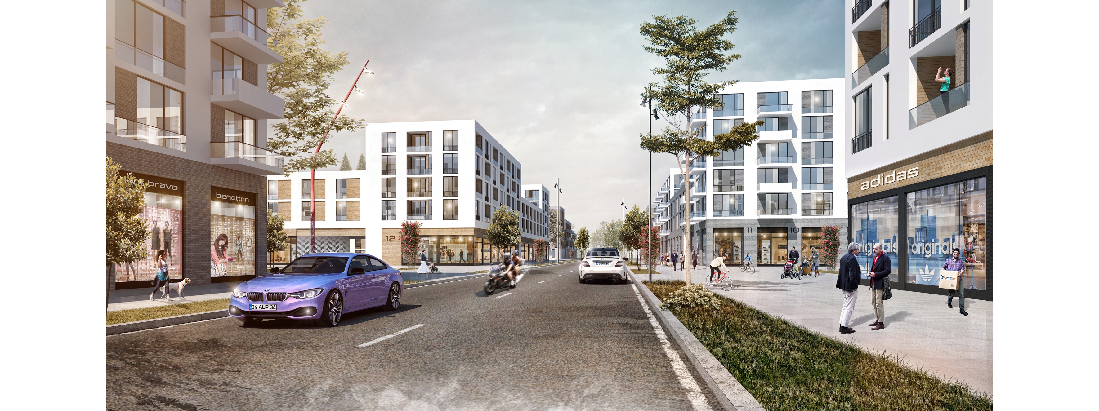
The 'main pedestrian backbone' describes a straight course parallel to the slope in the northwest-southeast orientation from the geometric center of the mound. It is also a 'Shopping Street' character with commercial uses on the ground floors.
It connects neighborhoods by touching squares and public facility areas that define different identities.

PUBLIC FACILITY AREAS
Public Facility Areas organized in neighborhoods and neighborhood parks. The site selection of the reinforcement areas, along with the Open Green Area System and the Pedestrian Backbone, has been considered in the direction of a holistic scheme that provides continuity for pedestrian movements.
TRANSPORTATION SYSTEM
In the northeast, the vehicle road connected to the Dogan Arasli Boulevard in the southwest, starting from the TEM, is the carrier backbone of the system. The other dominant component of the Transport System is the collecting ring which connects to the slope and parallel to the pedestrian backbone. The system is complemented by sub-scale vehicle paths and rings that are hanged on this ring and organized at the neighborhood scale.
| Location | İstanbul / Avcılar | |
| Program | Concept Urban Design Project | |
| Size | 450 Ha | |
| Client | TOKİ (Housing Development Administration Rebuplic of Turkey) | |
| Year | 2016 |